Waterway markings in Masuria: how to read the signs on the water
Red cylinders, green cones and white diamonds: how to read the waterway markings in Masuria so you can steer a charter yacht with confidence.
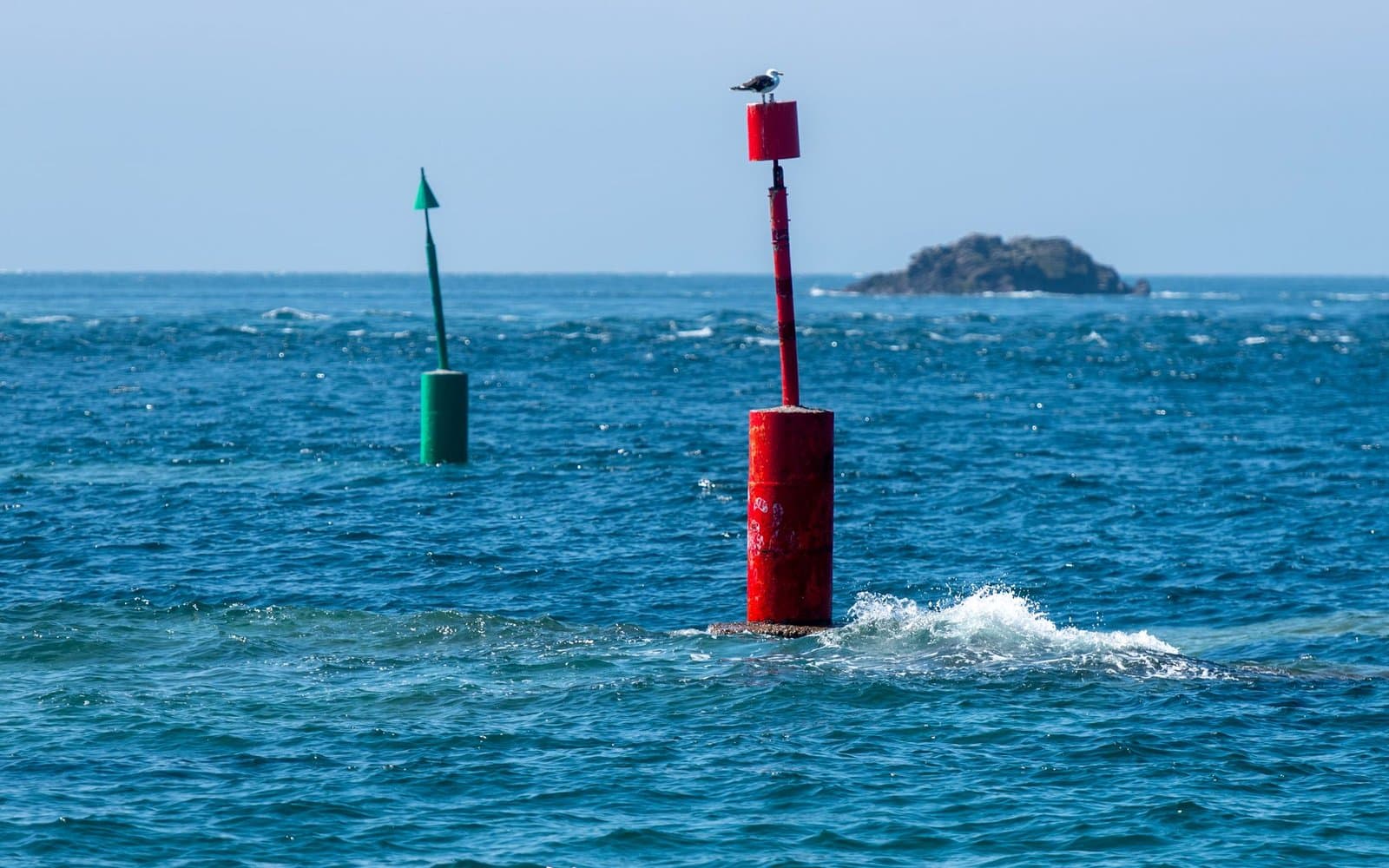
Buoys in Masuria are not decoration: red and green buoys mark the edges of the navigable waterway, the strip of water with guaranteed depth. The rule is simple once you know the trail's direction: sailing down the trail, from Pisz towards Węgorzewo, you keep the red marks on your right hand and the green ones on your left. This guide explains the whole system: direction, shapes, colours and special marks, so on your charter you read the water as confidently as road signs.
The trail's direction: everything starts here
The main trail of the Great Masurian Lakes runs from Pisz to Węgorzewo and measures 86.6 km. The conventional "down the trail" direction runs from Pisz to Węgorzewo, and the sides are described relative to it: facing Węgorzewo, the right edge of the trail is red, the left one green. When you head back, going up the trail, the colours obviously do not swap, but you have them on the opposite hands. That is why the first question when reading buoys is not "what colour is it" but "which way along the trail am I going". Tourist maps and pilot guides always mark the direction, and after a few hours on the water it becomes a habit. The whole trail, its ports and week planning are covered in our guide to chartering in Masuria.
The marks you must recognise
| Mark | Appearance | Meaning |
|---|---|---|
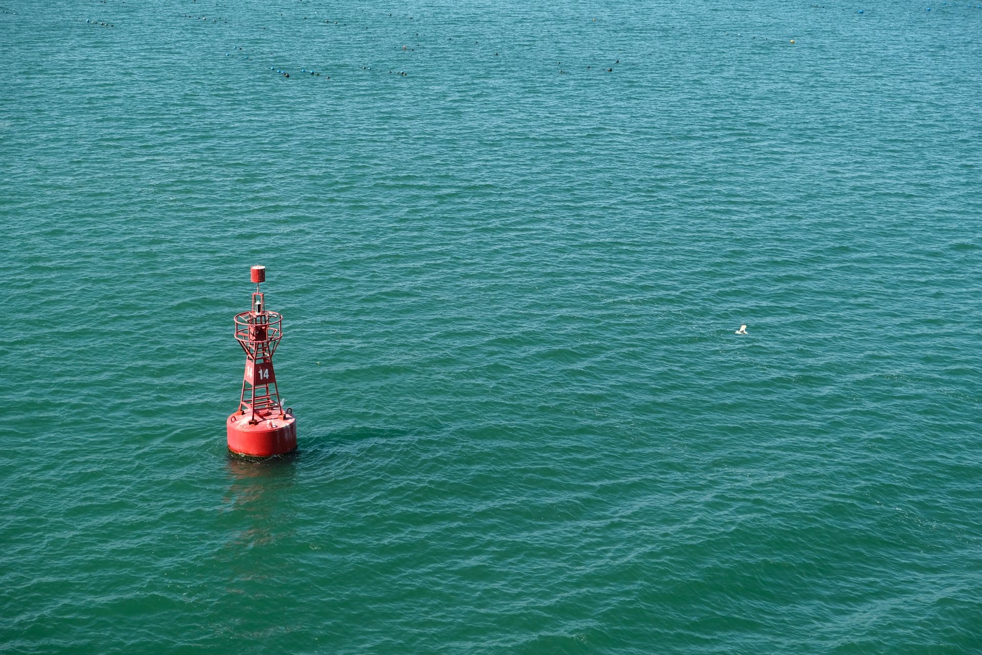
| Right edge of the trail | a red cylindrical buoy | keep it to starboard going down the trail |
| Left edge of the trail | a green conical buoy | keep it to port going down the trail |
| Trail fork | a spherical buoy with red and green stripes | the trail splits in two, slow down and pick your route |
| Trail axis | a white diamond on the shore | two diamonds in one line point to the middle of the safe channel |
| Special marks | yellow buoys | bathing area boundaries, cable ways, restriction zones |
The buoy's shape helps against the sun and at dusk, when colours blur into dark silhouettes: a cylinder is always the right side, a cone the left. The diamonds set up on shore work like a gunsight: steer the yacht so the nearer and farther diamond overlap and you are sailing the trail's axis.
Side trails: marked on one side only
Five side trails branch off the main route: across Śniardwy to Okartowo, through Bełdany towards the Guzianka lock and Lake Nidzkie, to Ryn, from Niegocin onto Kisajno, and from Mamry to Ogonki on Święcajty. Side trails are marked on one side only, so do not be surprised to see buoys on one hand: the other boundary of safe water runs along the shore. Passing the Guzianka lock has its own signalling rules, which we break down step by step in our guide to locking a yacht through.
New markings from the 2026 season
In spring 2026 the replacement of the Great Masurian Lakes trail markings began: signs are being renewed and added, so in places the buoy layout differs from what you remember from past seasons or what an older map shows. The practical conclusion: do not steer from memory. Read the marks you actually see on the water and treat the map as a supplement, not the other way round.
The waterway guarantees depth only within its boundaries. Shortcuts across the shallows between the buoys and the shore are the most common way to snap a centreboard or damage a rudder blade, and such damage can cost the whole deposit.
Beyond the marks: map, depths, bridges
The marks define the trail but do not tell the water's whole story. Keep an up-to-date map on board with depths and bridge clearances marked: a cabin yacht's mast will not pass under every bridge, and some passages require lowering the mast or waiting for an opening. Before you set off, check the forecast too: wind on the big open stretches can turn a calm leg into a demanding one, as we describe in our guide to Masurian weather for sailors. In the evening, plan your port with time to spare: our overview of ports and marinas in Masuria suggests where to moor without nerves. And if this is your first trip as a skipper, start with our first charter guide.
Frequently asked questions
On which side do you pass red buoys in Masuria?
Going down the trail, from Pisz towards Węgorzewo, you leave red cylindrical buoys to starboard and green conical ones to port. Going up the trail, you pass them the other way round.
What does a sphere with red and green stripes mean?
It is a fork buoy: the trail splits into two branches at that point. Slow down, confirm on the map which branch you are taking, and then follow the marks of the chosen branch.
What are the white diamonds on lake shores for?
They are trail axis marks working in pairs like a leading line: when the nearer and farther diamond align, the yacht is sailing the middle of the safe channel.
Can you sail outside the marked waterway?
You can, but at your own risk: guaranteed depth applies only within the trail's boundaries. Outside it you need a depth map, attention to shallows and rocks, and near the shores to quiet zones and bathing areas marked with yellow buoys.
Do the markings in Masuria change?
Yes, since the 2026 season the markings of the Great Masurian Lakes have been renewed and extended. Always read the marks you see on the water instead of relying on a buoy layout memorised from previous years.
A good trip starts with a good booking: operators using Portivo show boat availability online and accept payment by card, BLIK or Przelewy24. See how it works from the customer's side or write to us.